Halfeti

The district, which is 112 km away from the central district of Şanlıurfa, has a total population of 46,312 people according to the 2023 census.
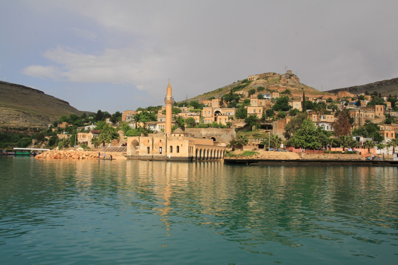
Halfeti, which became a district in 1954, has an area of 646 km2 and the administrative structure of the district consists of a town municipality, 35 villages and 34 hamlets in addition to the central municipality. Halfeti, which is bordered by the Gaziantep province's Araban, Yavuzeli and Nizip districts to the west, Adıyaman's Besni district to the north, Bozova to the east and Birecik district to the south, has an altitude of 525 meters above sea level. The district center's Euphrates coast is in the form of a green coastline. The district center was founded on this coastline and on the slopes of steep cliffs.
Cereal, pistachio and grape production also occupies an important place in the district. In Halfeti, stony and barren lands other than arable lands are located. the lands direct the people to small cattle breeding. The climate of the district shows the characteristics of the Mediterranean climate due to the influence of the Euphrates River. When the district was conquered by the Assyrian King Salmanassar III in 855 B.C., it was called "Şitamrat". The Greeks changed it and called it "Urima". The Assyrians used the names "Kal'a Rhomeyta" and "Hesna d'Romaye" for the district. After it was taken over by the Arabs, it was called "Kal'at-ul Rum" was given the name.
When it fell into the hands of the Byzantines in the 11th century, it was renamed "Romaion Koyla". The district, which was conquered by the Mamluk Sultan Eşref in 1290, was given the name "Kal'at-'ül Müslimin". The district, which fell under the rule of the Ottomans during the reign of Yavuz Sultan Selim, received the names "Urumgala" and "Rumkale", which are still used today.
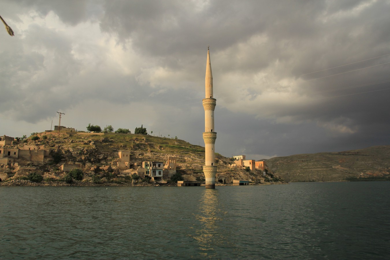
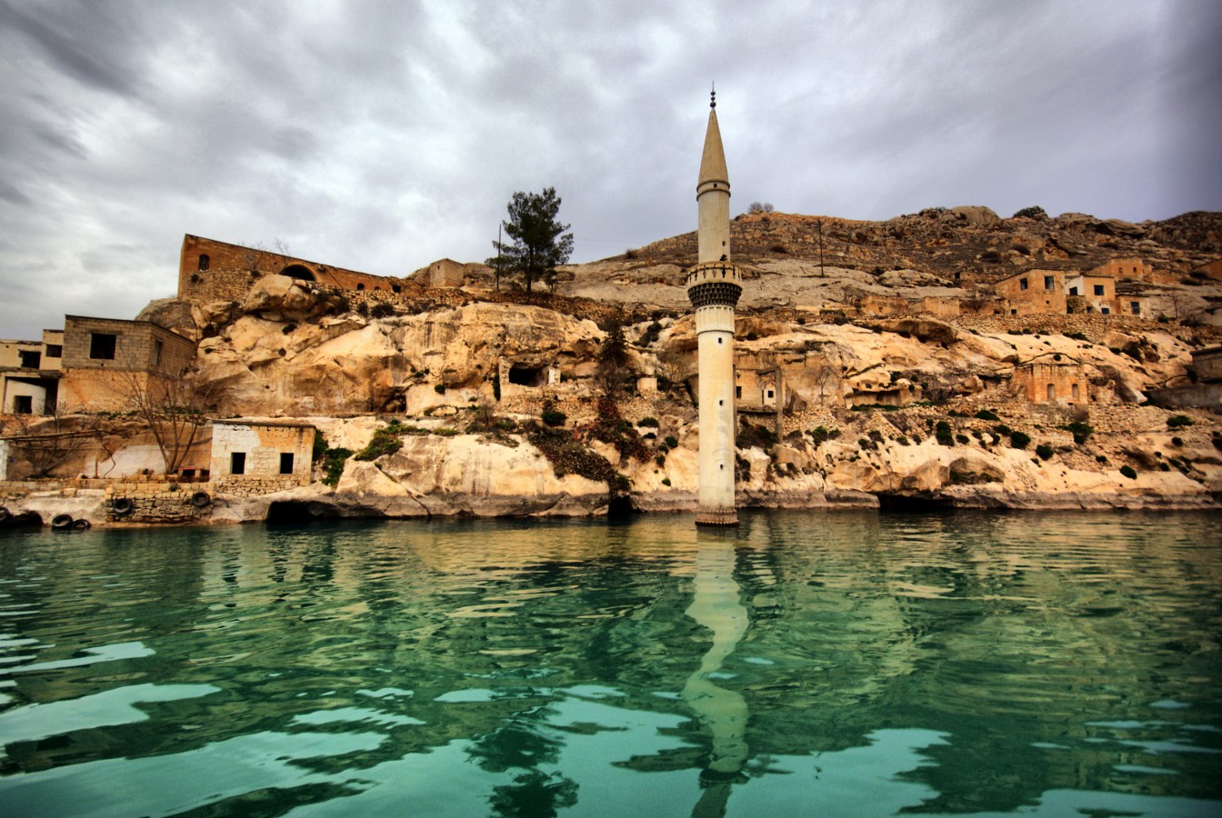
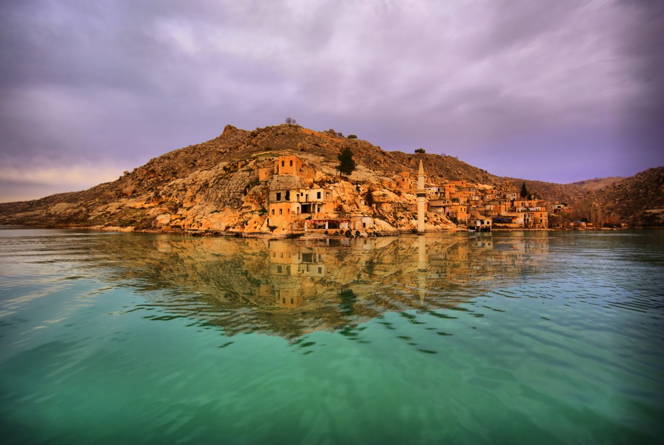
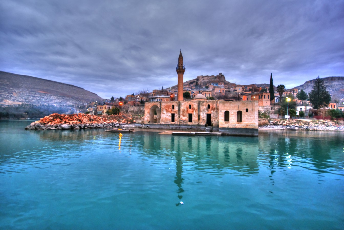
A large part of the district remained under the lake waters of the Birecik Dam. The Karaotlak area, 7 km from the town center, was selected as the new settlement and opened to settlement. The 'black rose', which has become the symbol of the city, It attracts the attention of all local and foreign guests and has a significant trade potential.
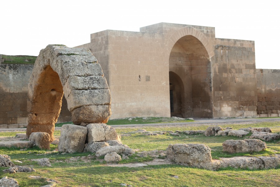
With the boats purchased by the Provincial Special Administration, it has become possible to reach Rumkale, where the St. Nerses Church, Barsavma Monastery and many other historical structures are located, and the historical Savaşan village, where the rock church is located.
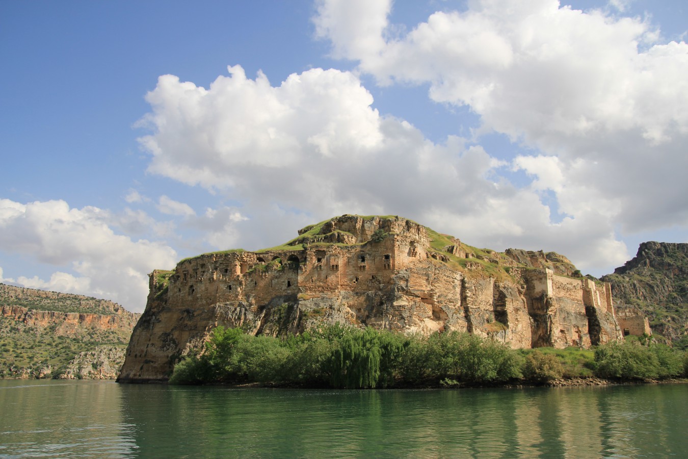
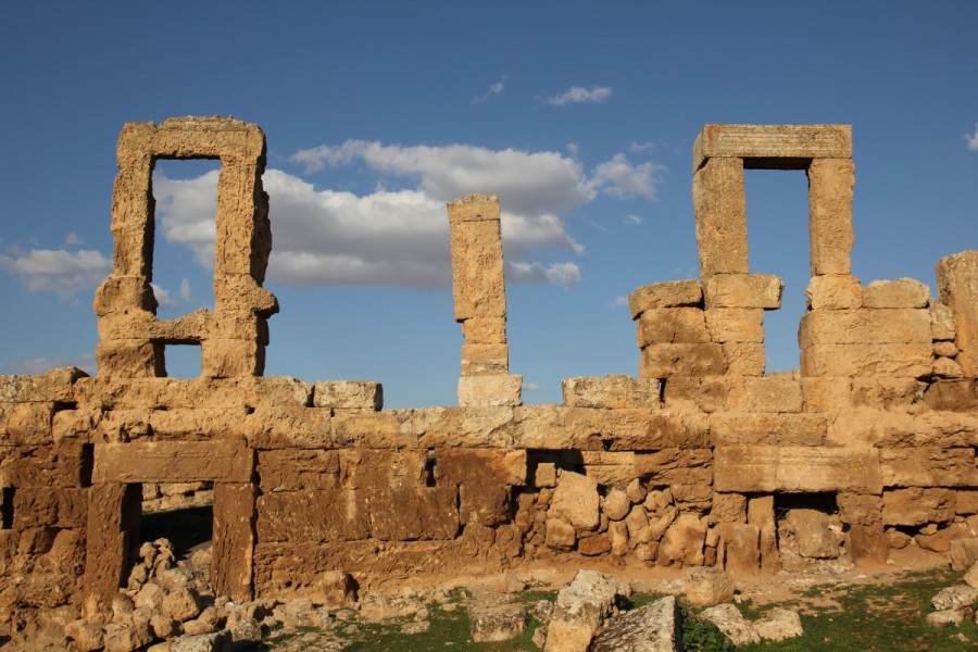
RUMKALE
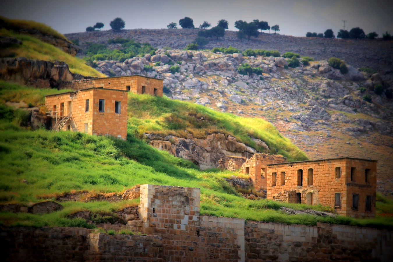
Rumkale is located on a hill overlooking the Şanlıurfa road, to the north of Birecik Plain and Halfeti, to the east of the Euphrates River coastline, and It borders Birecik from the north and northeast. In the early 20th century, it was a district and the center of the district was the town of Halfeti.
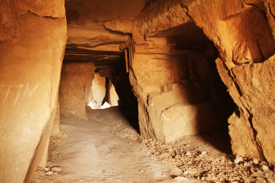
Rumkale was known as Şitamrat during the Assyrian period. It later took the name Urima and became the center of the Armenian Bishopric in the 12th century. It was captured by the Mamluk Sultan Melik el-Eşref in 1292. Rumkale, which came under Ottoman rule after the Battle of Marj Dabik in 1516, was connected to the Province of Aleppo. It was made a province in 1737 and was administered by feudal lords and local administrators. At the beginning of the 20th century, the population of the district was made up of Kurds and Turks, while the population of the villages was made up of Armenians and Yazidis. The structures that can be visited in Rumkale today are: Castle ruins, Aziz Nerses Church ruins and Barşavma Monastery ruins.
FEYZULLAH EFENDİ MANSION
It was built in 1901 (H. 1319) by Feyzullah Efendi, one of the prominent figures of the Halfeti region. Its construction took two years. The building, which is built on a two-story area of 1000 m2, has a total of 14 rooms, 10 on the first floor and 4 on the second floor.
Since it will be flooded by the Birecik Dam, it was moved to the Osman Bey Campus, which is being built by Harran University, with its stones numbered, and was rebuilt in accordance with the original.